

Land for Sale in Surendranagar, Gujarat
Geography & terroir
Surendranagar lies in central Saurashtra on the edge of the Little Rann of Kutch. The eastern half is flat to gently undulating with medium-black cotton soils; the western half transitions toward the Rann with saline patches and lower productivity. Rainfall is low and erratic — the district is in a semi-arid zone. Surface-water irrigation is limited; groundwater is the primary source, and salinity ingress affects some western talukas. The SAUNI scheme is bringing Narmada water to the district.
Typical land uses
Cotton (the historical mainstay), groundnut, cumin, and rabi pulses are the dominant crops. Plot sizes tend to be larger than central Gujarat (5–20 acres common). Salt pans operate in the eastern fringe of the Little Rann — these are a specific category requiring lease arrangements rather than typical land sale. NA residential is concentrated around Surendranagar, Wadhwan, and Limbdi towns. There is limited but growing industrial activity along the Ahmedabad–Rajkot highway corridor.
Infrastructure & access
NH-27 (the Ahmedabad–Rajkot–Saurashtra corridor) crosses the district, making it well-connected by road to both Ahmedabad (~120 km) and Rajkot. Surendranagar Junction is on the Western Railway Saurashtra network. The Bhachau–Surendranagar railway upgrade has improved freight access. Approach-road quality varies widely; verify pucca access for any plot.
Buyer notes
The biggest risks here are water and soil. Verify borewell depth, yield, and salinity for any plot — western Surendranagar has had borewells fail or go brackish. Soil salinity affects crop choice in the Rann-edge talukas; a soil test costs little and matters a lot. The Little Rann itself is a Wild Ass Sanctuary; plots within or near sanctuary boundaries carry restrictions. Standard Gujarat agricultural-land rules apply.
Available listings (3)
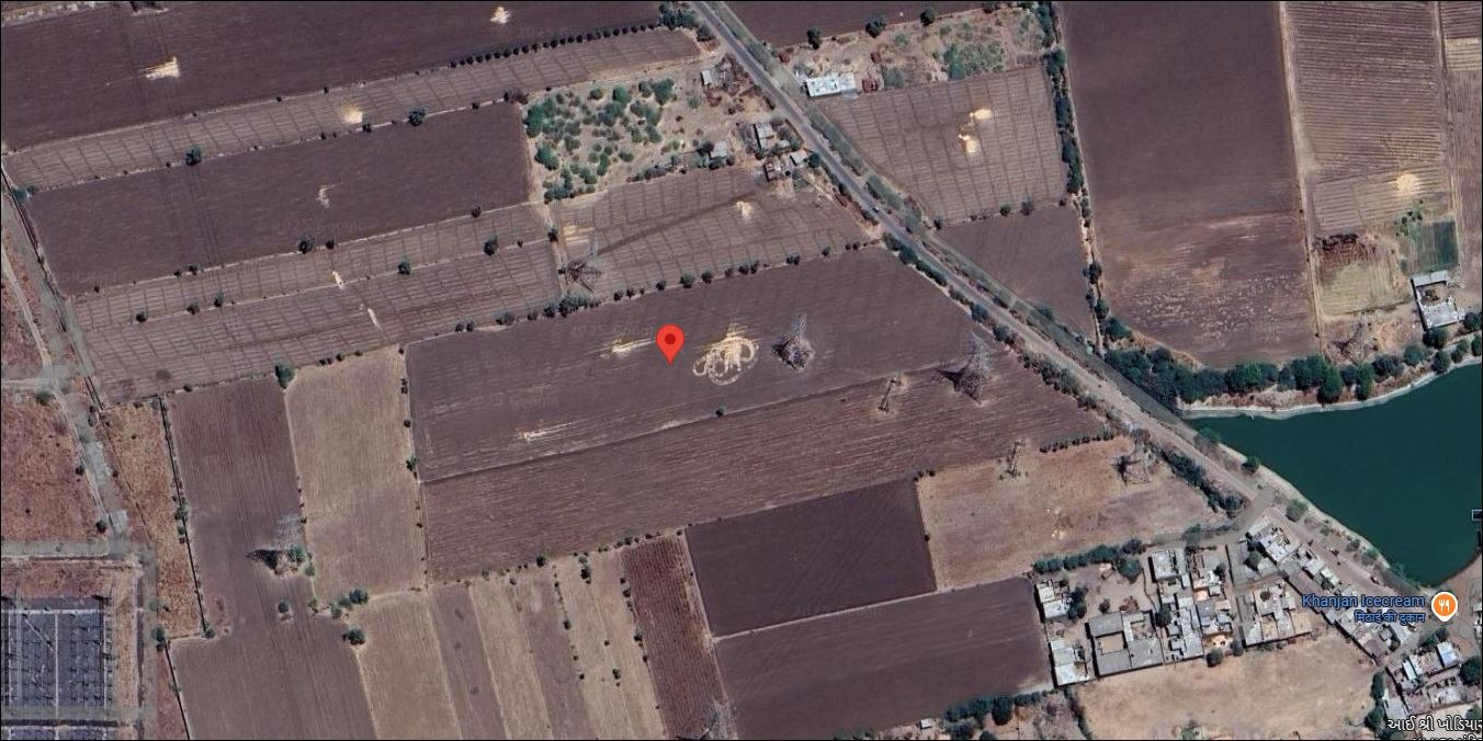
2.31 Acre
Limbdi, GJ, India
₹ 69.30 L
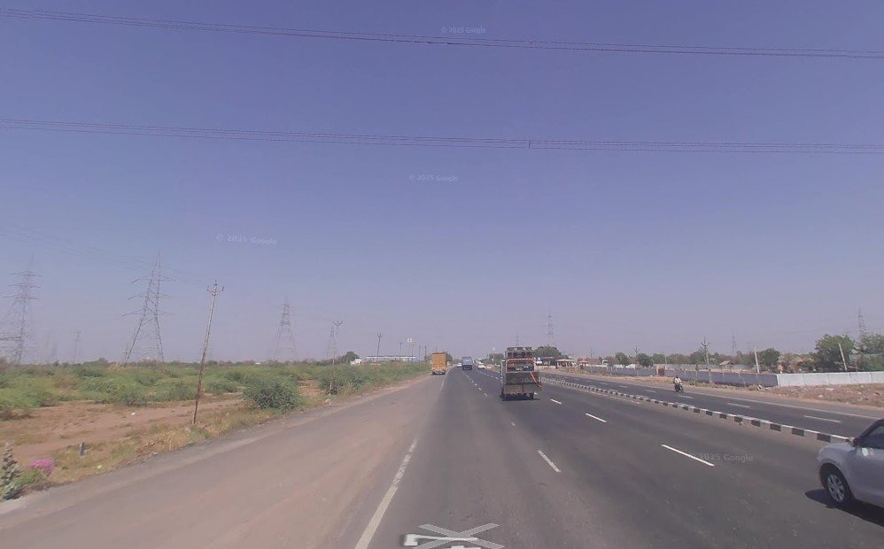
2.19 Acre
Limdi, GJ, India
₹ 65.70 L
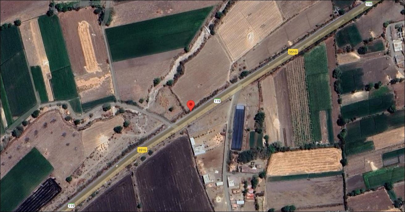
3.2 Acre
Chotila, GJ, India
₹ 1.42 Cr