

Land for Sale in Ahmedabad, Gujarat
Geography & terroir
Ahmedabad district sits in central Gujarat on the Sabarmati river. The terrain is predominantly flat alluvial plain with patches of black cotton soil to the west and lighter sandy-loam soils to the south and east. Rainfall is moderate (semi-arid), and most plots rely on borewells or canal feeders from the Sardar Sarovar and Narmada main canal network. Agricultural seasons follow the kharif (cotton, groundnut, bajra) and rabi (wheat, mustard, cumin) cycle.
Typical land uses
The district has the widest range of land categories of any in Gujarat. Closest to the city (Daskroi, Sanand, Bavla, Bopal-Ghuma fringe): NA residential and farmhouse plots, typically 0.25–2 acres, sold for villa development or as weekend holdings. Farther out (Mandal, Dholka, Detroj-Rampura): agricultural plots, 2–20 acres, for active farming or as long-hold investment. Dedicated industrial zones in Sanand (Tata Nano, Ford, Maruti suppliers) and the broader Dholera SIR push pricing well above adjacent agricultural land.
Infrastructure & access
The district is exceptionally well connected. NH-48 (Mumbai–Delhi), NH-947, the Ahmedabad–Vadodara Expressway, and the upcoming Bullet Train corridor all cross it. Sardar Vallabhbhai Patel International Airport is in the heart of the district, and Sanand has its own logistics park linked to JNPT. Metro coverage is expanding within city limits. Approach-road width matters a lot here — narrow 12–15 ft kaccha roads can halve resale value vs. 30+ ft pucca approaches.
Buyer notes
Non-agriculturists must obtain permission to buy agricultural land, or the land must be converted to NA before sale. The Ahmedabad Urban Development Authority (AUDA) zoning is layered on top of revenue records — a plot can be agricultural in revenue records but in residential zone per the development plan, which materially changes its NA-conversion path. Verify the 7/12 extract, the AUDA zone, any tukda restrictions for very small parcels, and that the survey number on the document matches the actual plot on the cadastral map.
Available listings (5)
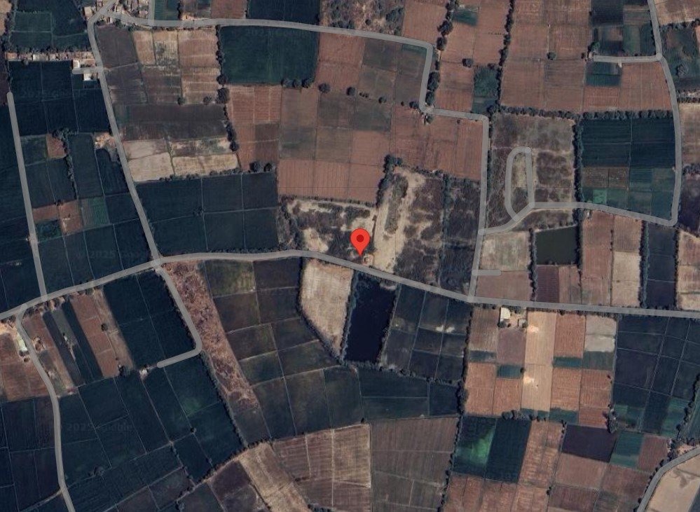
1 Acre
Dholka, GJ, India
₹ 1 Cr
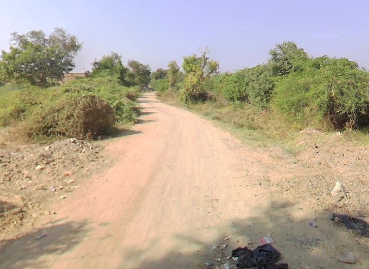
535 Sq. yard
Sanand, Gujarat,
₹ 1.34 Cr
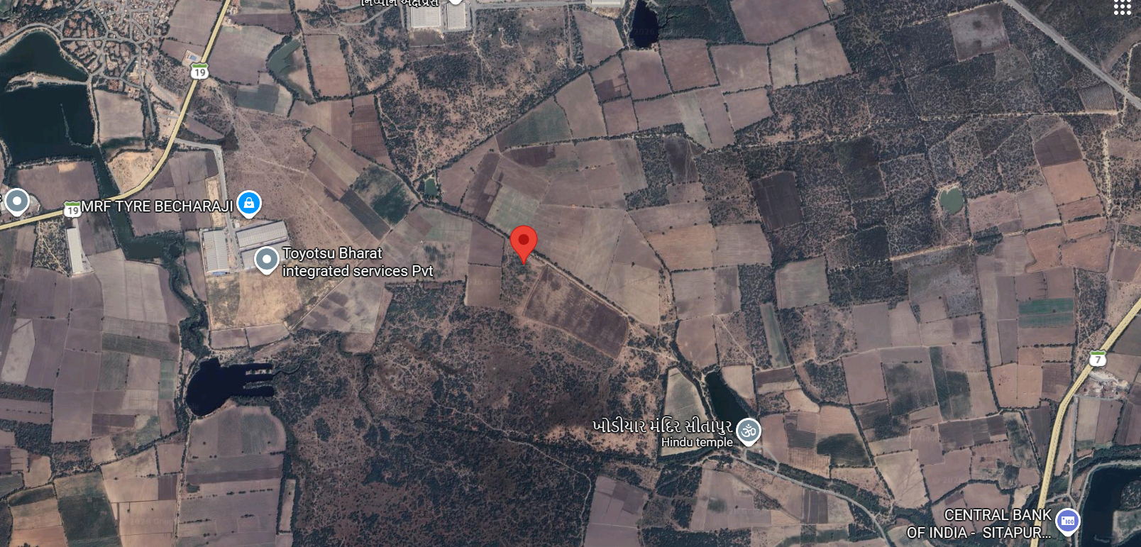
2.86 Acre
Mandal, GJ, India
₹ 2.58 Cr
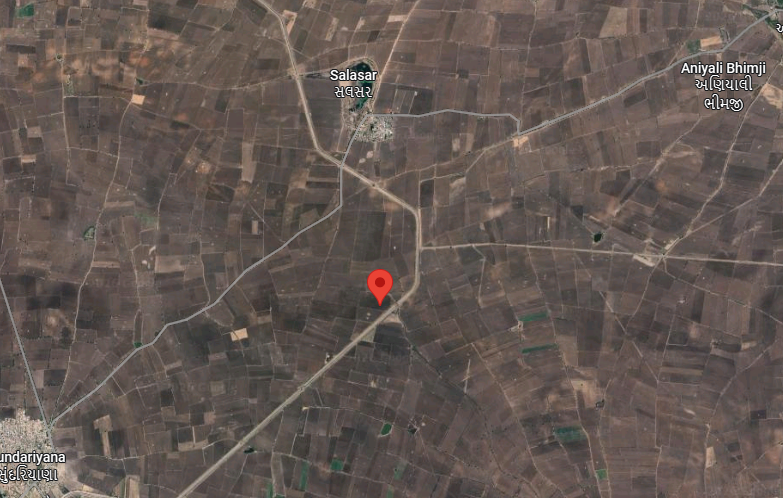
13.55 Acre
Dhandhuka, GJ, India
₹ 1.40 Cr
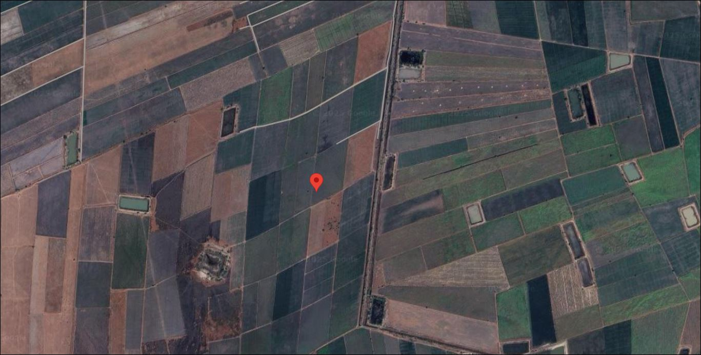
6.67 Acre
Dholera, GJ, India
₹ 2.73 Cr