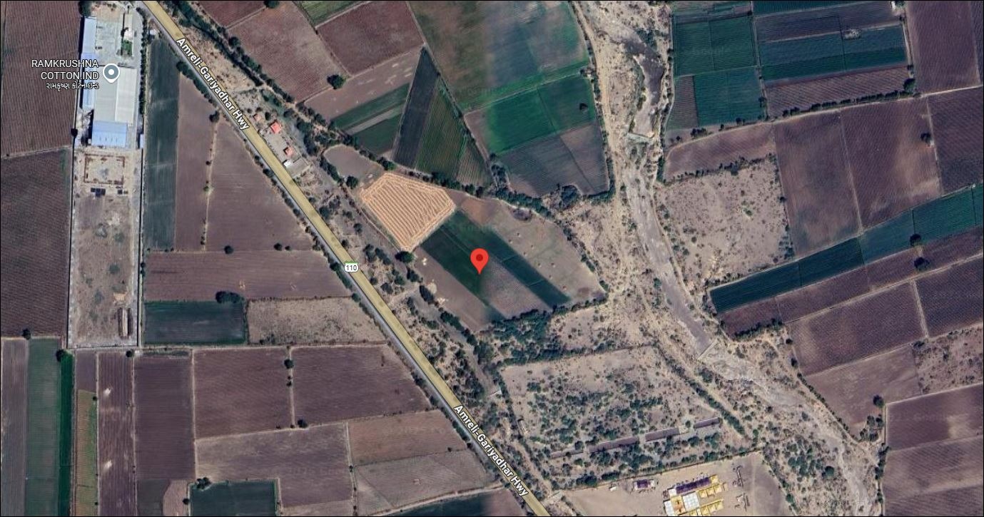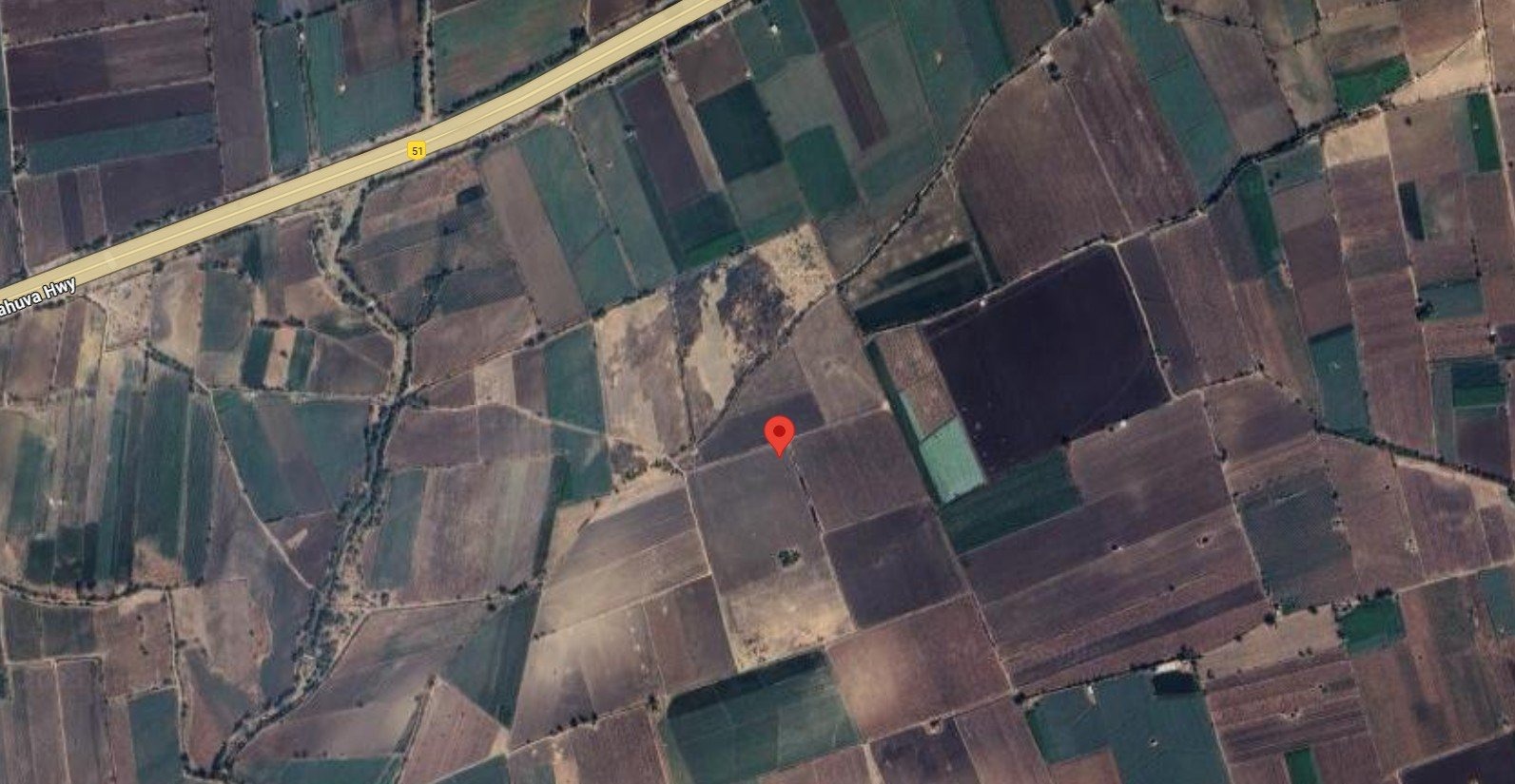

Land for Sale in Amreli, Gujarat
Geography & terroir
Amreli sits in southern Saurashtra, with the Arabian Sea to its south and the Gir National Park forming part of its eastern boundary. The terrain is rolling — central Saurashtra plateau topography — with predominantly medium-black cotton soils and pockets of sandier soils near the coast and forest edge. Rainfall is moderate by Saurashtra standards, helped by proximity to the coast and the Gir hills. Groundwater is the main irrigation source, with some surface-water access from local minor irrigation projects.
Typical land uses
Cotton is the historical and current mainstay; groundnut, sesame, pigeon pea, and onion are also widely grown. Plot sizes are typically 3–15 acres, family-held over generations. NA residential is concentrated around Amreli, Savarkundla, and Rajula towns. The Pipavav deep-water port is in Rajula taluka and anchors a small industrial cluster nearby. Limited tourism-related land economy exists around the Gir forest edge in Khambha and Dhari talukas.
Infrastructure & access
NH-927A and several state highways cross the district. Pipavav is one of India's largest private ports, served by a dedicated rail line. Amreli is on the Western Railway Saurashtra network. The district is roughly 280 km from Ahmedabad and 200 km from Rajkot. Approach roads to villages have improved but vary by taluka.
Buyer notes
Plots near Gir National Park (in Khambha, Dhari, and parts of Liliya) may have buffer-zone restrictions affecting construction and certain agricultural activities — verify the wildlife and forest department status. Coastal plots near Rajula and Jafrabad carry CRZ implications. Verify 7/12, borewell status, and standard Gujarat agricultural-land non-agriculturist rules. The Pipavav industrial-belt premium is real but localized.