
Land for Sale in Arvalli, Gujarat
Geography & terroir
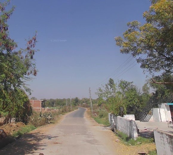
Aravalli was carved out of Sabarkantha in 2013 and lies in northeast Gujarat at the edge of the Aravalli hill range. The terrain is more undulating than the rest of Gujarat — gentle slopes, dry deciduous forest patches, and pockets of red-and-yellow soil mixed with sandy-loam. Rainfall is moderate but the topography means runoff is faster, so groundwater is the main irrigation source. Several minor and medium irrigation projects exist on tributaries of the Sabarmati and Meshwo rivers.
Typical land uses
Agriculture is the dominant land use — wheat, maize, castor, vegetables, and cotton on smaller-than-average plot sizes (1–6 acres). Dairy farming is active. The hilly terrain means terraced and contour-bound parcels are common, and some plots have stretches that are not fully cultivable. There is limited industrial activity, and NA residential demand is concentrated around Modasa, Bayad, and Dhansura towns. Tribal-area regulations apply in some pockets of the district.
Infrastructure & access
NH-58 and several state highways cross the district. Modasa is the district headquarters and main town, ~110 km from Ahmedabad. Rail connectivity is limited — most travel to the district is by road. Approach roads to interior villages have improved in the past decade but the terrain means some plots have steep or kachha access; verify on site.
Buyer notes
Two specific issues to verify carefully here. First, tribal-area land transfer restrictions — parts of Aravalli fall under Scheduled Area protections, where non-tribals cannot purchase land from tribal owners without specific permissions. Check the tribal/non-tribal status of both the seller and the plot's revenue village. Second, terrain — slopes and rocky outcrops can reduce cultivable area significantly compared to the recorded plot size. Walk the plot, not just the cadastral map. Standard agricultural-land rules apply otherwise.