
Land for Sale in Gandhinagar, Gujarat
Geography & terroir
Gandhinagar district straddles the Sabarmati river just north of Ahmedabad and serves as the state capital. The terrain is flat alluvial plain with medium-black and sandy-loam soils. Water table is reasonable in most talukas; canal coverage from the Narmada main canal is patchy. The district is small in area but disproportionately important because it hosts Gujarat's government, GIFT City, and is the seam between the Ahmedabad metropolitan growth zone and the agricultural North Gujarat belt.
Typical land uses
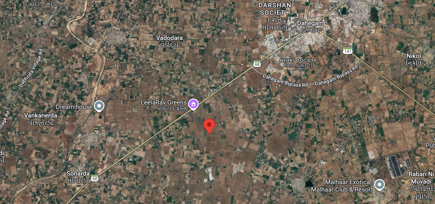
Three distinct sub-markets exist. First, planned residential plots inside Gandhinagar city — entirely NA, regulated by GUDA/CRDA, transacted in tightly defined sectors. Second, peri-urban land along the Gandhinagar–Ahmedabad highway and around GIFT City — sharply premium-priced and often bought speculatively. Third, agricultural land in Mansa, Kalol, and Dehgam talukas — wheat, mustard, vegetables, and dairy-feeding fodder; commonly 2–10 acre family holdings.
Infrastructure & access
The district is among the best-connected in India. The capital is on the Vande Bharat / Mahatma Mandir corridor, the Ahmedabad–Gandhinagar metro now reaches the secretariat, NH-147 and NH-48 cross the district, and the Bullet Train corridor passes through. GIFT City is anchoring a separate finance/tech sub-market. Distances to Ahmedabad airport (~30 km), Sardar Sarovar canals, and the DMIC nodes are short.
Buyer notes
Gandhinagar Urban Development Authority (GUDA) and the Capital Region Development Authority (CRDA) layer over revenue records inside their notified areas. Land near GIFT City has FSI rules and infrastructure-charge implications that meaningfully change build potential — always check the latest CRDA notifications. Agricultural land in Mansa or Dehgam requires the standard non-agriculturist permission. Verify the 7/12, GUDA zone, any TP scheme reservation, and pending acquisition notices in the Collectorate.